With rising sea levels, stronger winds, and heavier rains, flooding of low lying areas around the Corsica watershed are becoming a more common site. This is the Centreville wharf on January 10th.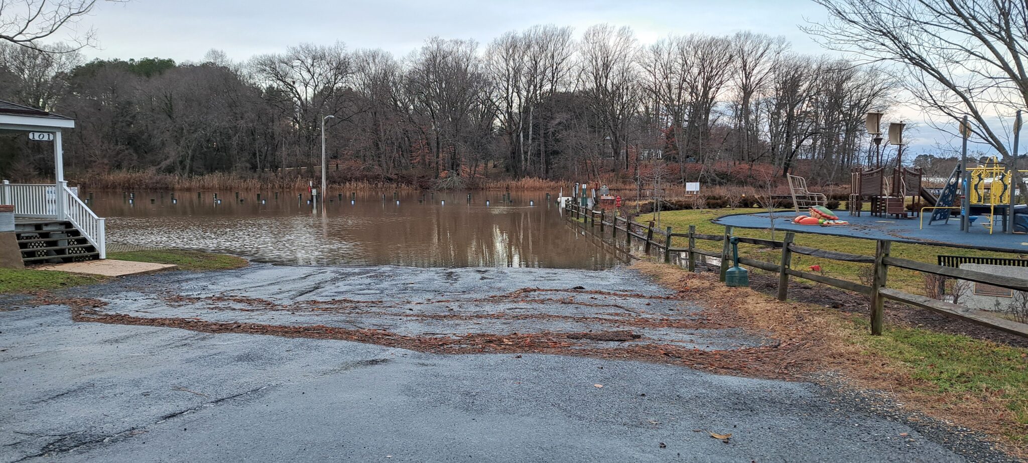
Maryland’s Department of Natural Resources has launched a new app that allows residents to capture photos of flooding events. The flood photos that residents share help scientists at DNR and other government agencies in Maryland understand the extent of flooding in certain areas, compare pre-storm or pre-high tide flooding estimates with actual effects, and plan long-term mitigation projects to reduce flooding. You can read more about the project and download the app from mycoast.org/md