Skip to Main Content
Search for:
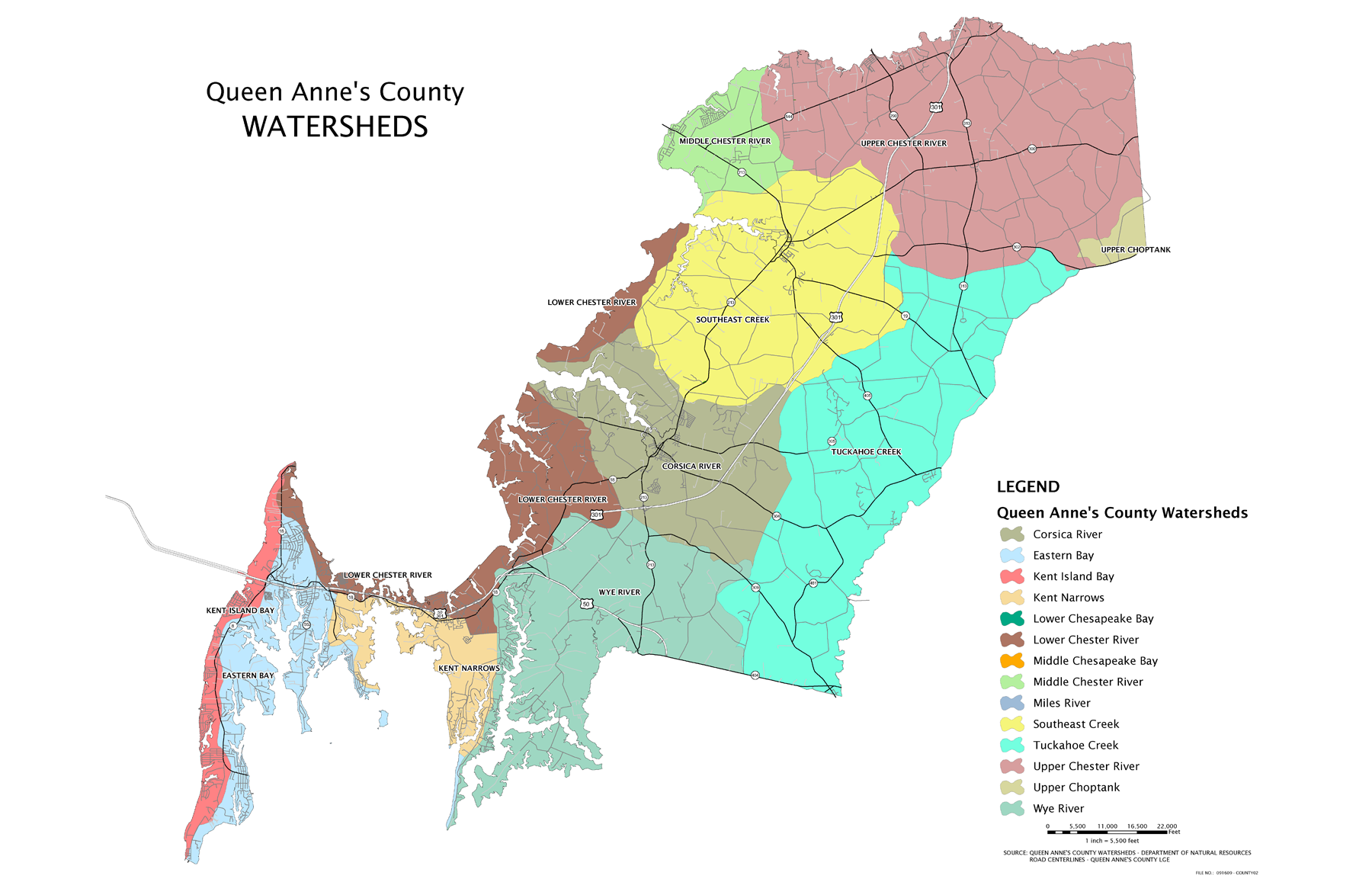
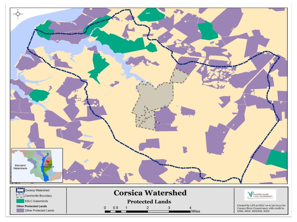
Restoring the Corsica River
About Us
History
What We Do
Water Quality Monitoring
Watershed Maps
Board of Directors
Stewardship
Become a Member
Volunteer
Lawns and Gardens
Talking Trash
Advocate
Report a Problem
News
Water Quality Testing
Other News
Calendar
Advocacy Blog
Menu
About Us
History
What We Do
Water Quality Monitoring
Watershed Maps
Board of Directors
Stewardship
Become a Member
Volunteer
Lawns and Gardens
Talking Trash
Advocate
Report a Problem
News
Water Quality Testing
Other News
Calendar
Advocacy Blog
Watershed Maps